Agricultural Drone Services in Lawrence County, AL
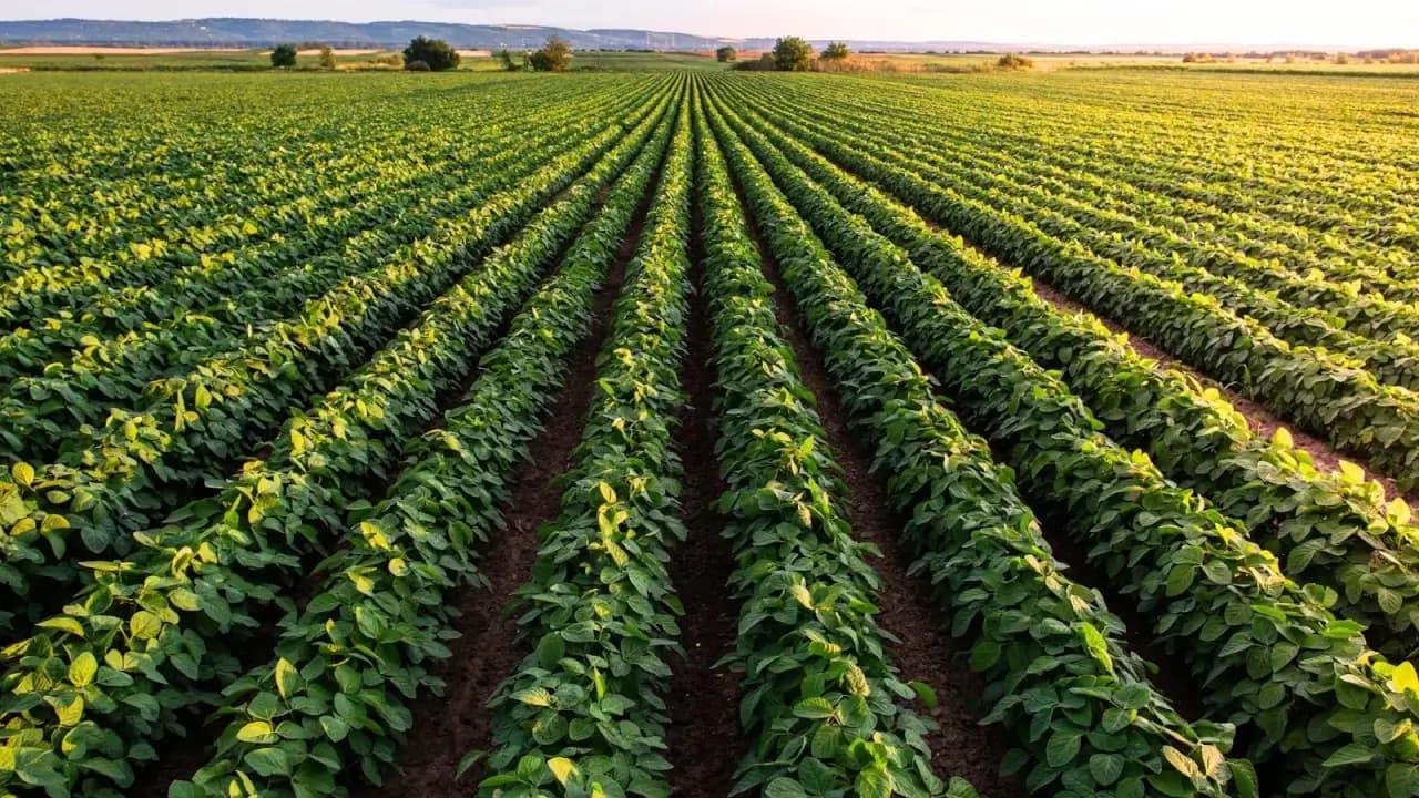
Lawrence County cropping around Moulton and Town Creek blends cotton, soybeans, corn, wheat, hay, and pasture across big open fields, creek draws, and pasture edges—so applicator choice usually hinges on which acres are wheel-ready when the labeled window arrives.
This page focuses on agricultural drone services. North Alabama Drone Applicators still confirms crop, field condition, product plan, labels, and weather before recommending any drone pass—or redirecting you to a rig or airplane when that is the stewarded choice.
Local page focus
- Agricultural Drone Services in Lawrence County, AL
- Agricultural drone services Lawrence County AL
- Agricultural drone services Lawrence County Alabama
- Farm drone application near Moulton
Local communities around these reviews.
Typical routing conversations reference farms near Moulton, Town Creek, Courtland, Hillsboro, North Courtland, and Lawrence County farm communities.
- Moulton
- Town Creek
- Courtland
- Hillsboro
- North Courtland
Built around common local crops.
Common crop reviews include cotton, soybeans, corn, wheat, hay, and pasture. Every request is checked against field access, weather, product fit, and whether the application belongs on a drone.
Why Lawrence County acres may need a drone option.
- Broad rectangular fields alongside irregular wood lines, pasture blocks, and creek draws that change access field-to-field
- Bottoms and subtle low areas that hold moisture longer than mapped “wet” acres
- Mixed cotton, corn, soybean, wheat, hay, and pasture rotations with different timing pressure in the same week
Application requests we can review.
- Supplementing ground rigs or crop dusters when Moulton-area cotton or soybean acres need a pass but part of the field is still limiting wheels
- Drone spreading for cover crops, dry fertilizer, lime, or pasture work on blocks where traditional equipment is booked or access is awkward
- Field-by-field decisions for herbicide, fungicide, insecticide, or foliar timing when Lawrence County rains split the farm into wet and dry zones
Clear next steps before product ever leaves the ground.
Crop stage, acreage, and target product
Label requirements, weather, buffers, and drift risk
Field access, gates, tree lines, ditches, waterways, and power lines
Whether drone work should stand alone or support a ground rig or crop duster
Local questions about agricultural drone services.
Same county-focused answers as our crop applicator pages—tailored to how Lawrence County farms actually run.
Start with acres, obstacles, buffers, and moisture. Large clean blocks may stay with traditional aerial; reachable dry ground favors rigs; wet holes, pasture transitions, or awkward shapes often justify a drone segment. We spell out that split plainly.
Bottoms matter, but so do shallow drainage signatures next to pastures, terraces near Town Creek, and field roads that rut first. Share where equipment actually traveled last season—we match recommendations to real traffic patterns.
Sometimes. If labels, weather, and field-fit align, drones can cover targeted acres while your rig finishes elsewhere. We still decline work when stewardship says wait or shift method.
Yes. Fence lines, waterers, slopes, and grazing windows change placement priorities. Tell us stocking goals and whether livestock need to be rotated during application.
Nearest community (Moulton, Town Creek, Courtland, etc.), crops involved, approximate acres per block, target pass, timing pressure, and notes on bottoms, gates, or aerial obstacles. Photos of questionable corners help.
Ask whether agricultural drone services fits your field.
Share your county, crop, acreage, target pass, product plan, and timing pressure. We will follow up with a practical recommendation for your field.