Drone Spreading in Cullman County, AL
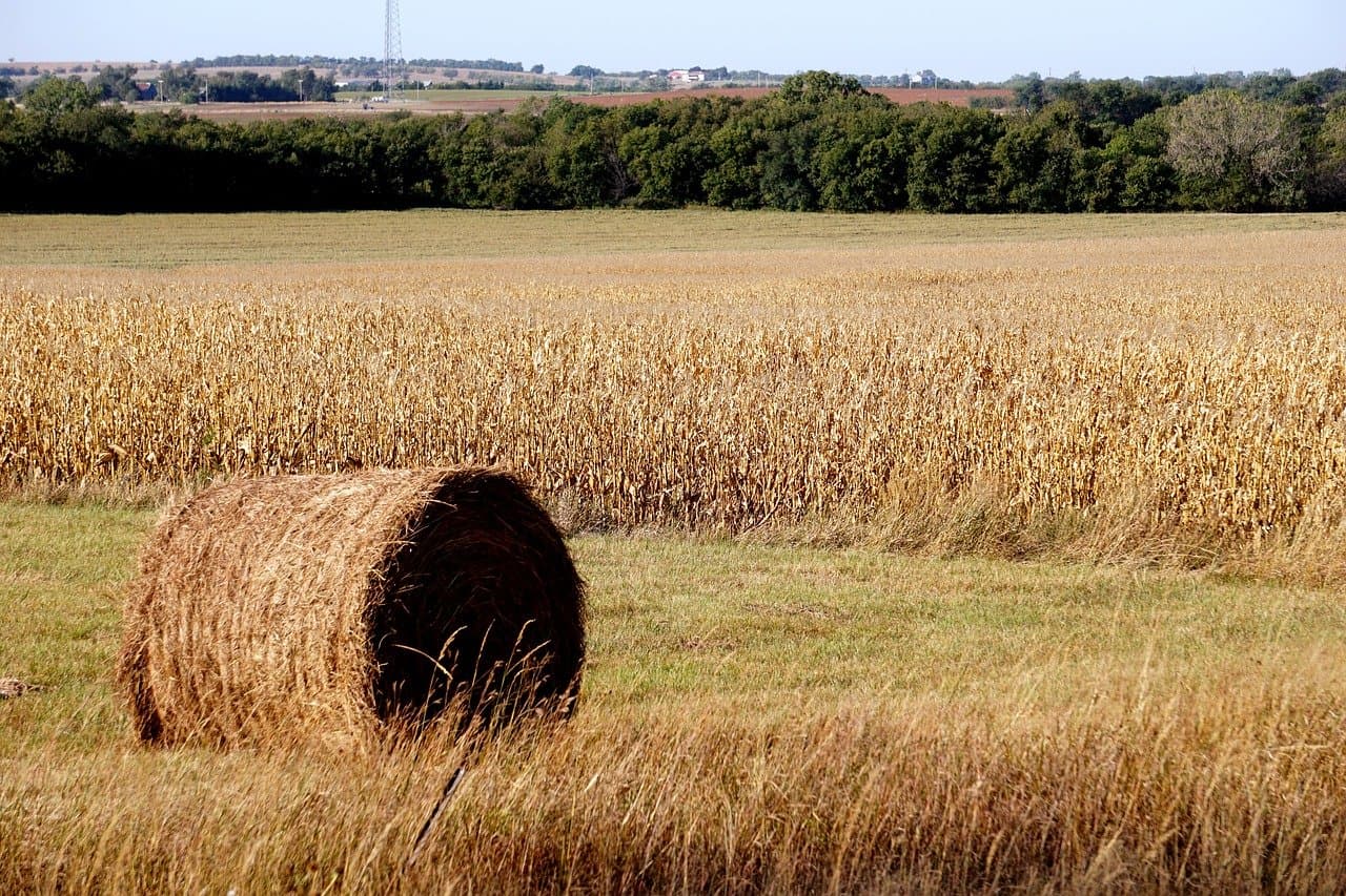
Cullman County ground is often rollier and more segmented than valley bottomland—hay, forage, pasture, and row-crop blocks around Cullman, Hanceville, and Holly Pond frequently need dry product placement without tearing up headlands or side hills.
This page focuses on drone spreading. North Alabama Drone Applicators still confirms crop, field condition, product plan, labels, and weather before recommending any drone pass—or redirecting you to a rig or airplane when that is the stewarded choice.
Local page focus
- Drone Spreading in Cullman County, AL
- Drone spreading Cullman County AL
- Agricultural drone services Cullman County Alabama
- Farm drone application near Cullman
Local communities around these reviews.
Typical routing conversations reference farms near Cullman, Fairview, Hanceville, Vinemont, Holly Pond, and rolling Cullman County farms.
- Cullman
- Fairview
- Hanceville
- Vinemont
- Holly Pond
Built around common local crops.
Common crop reviews include corn, soybeans, hay, forage, pasture, and cover crops. Every request is checked against field access, weather, product fit, and whether the application belongs on a drone.
Why Cullman County acres may need a drone option.
- Rolling slopes, shorter fields, and lanes that limit where heavy spreaders can travel without wash or rut risk
- Hay, forage, and pasture strips with irregular shapes and soft gates that slow ground equipment
- Headlands and knolls that dry at different speeds than draws after rain
Application requests we can review.
- Drone spreading for cover crop seed, dry fertilizer, lime, and pasture overseeding when terrain or wet ground punishes spinner traffic
- Reaching hillside strips, odd corners, and remote gates without dragging equipment through marginal access
- Pairing aerial dry work with spray plans elsewhere on the farm when routing and product timing line up
Clear next steps before product ever leaves the ground.
Crop stage, acreage, and target product
Label requirements, weather, buffers, and drift risk
Field access, gates, tree lines, ditches, waterways, and power lines
Whether drone work should stand alone or support a ground rig or crop duster
Local questions about drone spreading.
Same county-focused answers as our crop applicator pages—tailored to how Cullman County farms actually run.
Spreading questions are common because terrain and pasture layout make ground equipment expensive in time and rut risk. We still review spray passes when crop stage, labels, and conditions support drones—many farms need both across a season.
Slope changes swath placement, drift management, and how we stage equipment. We walk through field maps, obstacles, and weather with you before committing. If stewardship favors waiting or another method, we will say so.
When seed size, rate, and field shape fit aerial placement, drones can reach brushy edges, steep lanes, and soft ground that discourages heavy traffic. We still confirm species, product, and labeled use before recommending flight.
Yes. Bring your rate goal, product name, and any blend restrictions. We align the conversation with labeled use and practical field placement—not just whether a drone can fly.
Nearest town, crop or pasture goal, approximate acres, target product, timing window, and photos of slopes, gates, or wet draws. That is enough to start a realistic applicator comparison.
Ask whether drone spreading fits your field.
Share your county, crop, acreage, target pass, product plan, and timing pressure. We will follow up with a practical recommendation for your field.