Drone Crop Application in Morgan County, AL
Morgan County farms from Hartselle to Priceville often rotate corn, soybeans, cotton, wheat, hay, and pasture across terraces, waterways, and variable block sizes—so applicator decisions are as much about field geometry and moisture pockets as about acreage totals.
This page focuses on drone crop application. North Alabama Drone Applicators still confirms crop, field condition, product plan, labels, and weather before recommending any drone pass—or redirecting you to a rig or airplane when that is the stewarded choice.
Local page focus
- Drone Crop Application in Morgan County, AL
- Drone crop application Morgan County AL
- Agricultural drone services Morgan County Alabama
- Farm drone application near Decatur
Local communities around these reviews.
Typical routing conversations reference farms near Decatur, Hartselle, Priceville, Eva, Somerville, and surrounding Morgan County farm ground.
- Decatur
- Hartselle
- Priceville
- Eva
- Somerville
Built around common local crops.
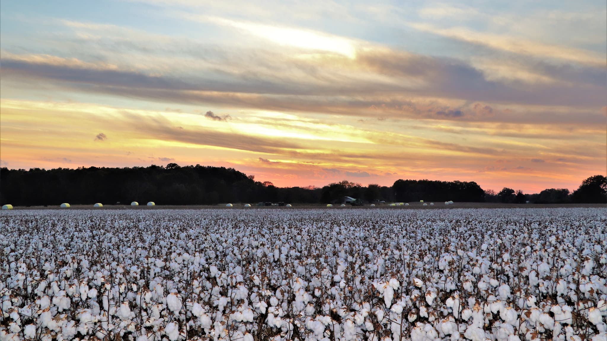
Common crop reviews include corn, soybeans, cotton, wheat, hay, and pasture. Every request is checked against field access, weather, product fit, and whether the application belongs on a drone.
Why Morgan County acres may need a drone option.
- Mixed field sizes with terraces, grassed waterways, and wood edges that break up efficient rig paths
- River-influenced bottoms and transitions where soil moisture changes field-to-field after rain
- Row-crop and pasture acres that may need spray in one window and dry product work in another
Application requests we can review.
- Drone spraying for herbicide, fungicide, insecticide, and foliar programs when terraces or waterways split the field into awkward rig geometry
- Drone spreading for cover crop seed, dry fertilizer, lime, or pasture overseeding when product and rate fit aerial placement
- Partial-field passes where Decatur-area traffic, soft headlands, or edge acres need a different access pattern than the main block
Clear next steps before product ever leaves the ground.
Crop stage, acreage, and target product
Label requirements, weather, buffers, and drift risk
Field access, gates, tree lines, ditches, waterways, and power lines
Whether drone work should stand alone or support a ground rig or crop duster
Local questions about drone crop application.
Same county-focused answers as our crop applicator pages—tailored to how Morgan County farms actually run.
They interrupt straight rig passes and can leave awkward triangles, pinch points, and soft crossings. Drones often fit those strips while rigs stay on larger rectangles—assuming labels and weather support an aerial application.
We review drone spreading when the product, labeled use, rate, and field layout fit. Share target material, approximate acreage, and access constraints so we can compare drone placement against spinner rigs or other methods honestly.
Large, open blocks with favorable wind and straightforward stewardship can favor traditional aerial for throughput. We recommend drones when geometry, buffers, partial-field needs, or timing on wet acres argues for a more segmented approach.
Yes. Pasture timing, fence lines, gates, and drinking-water setbacks change the picture. Tell us stocking goals, product intent, and access so we can separate pasture passes from nearby row-crop plans.
Approximate location relative to Decatur or Hartselle, crop, acres, target pass, product direction, recent weather, and notes on waterways, terraces, or soft zones. Yield maps or phone photos of headlands help.
Ask whether drone crop application fits your field.
Share your county, crop, acreage, target pass, product plan, and timing pressure. We will follow up with a practical recommendation for your field.