Drone Spraying in Madison County, AL
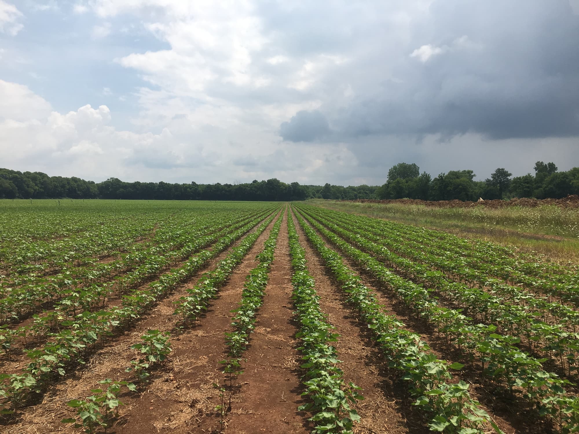
Crop application around Huntsville and Meridianville often mixes cotton, corn, soybeans, wheat, hay, and forage acres with subdivision edges, tree lines, and buffer-sensitive strips—exactly where ground rigs slow down and a controlled aerial pass can keep the program moving.
This page focuses on drone spraying. North Alabama Drone Applicators still confirms crop, field condition, product plan, labels, and weather before recommending any drone pass—or redirecting you to a rig or airplane when that is the stewarded choice.
Local page focus
- Drone Spraying in Madison County, AL
- Drone spraying Madison County AL
- Agricultural drone services Madison County Alabama
- Farm drone application near Huntsville
Local communities around these reviews.
Typical routing conversations reference farms near Huntsville, Meridianville, New Market, Hazel Green, Owens Cross Roads, and rural Madison County.
- Huntsville
- Meridianville
- New Market
- Hazel Green
- Owens Cross Roads
Built around common local crops.
Common crop reviews include cotton, corn, soybeans, wheat, hay, and forage. Every request is checked against field access, weather, product fit, and whether the application belongs on a drone.
Why Madison County acres may need a drone option.
- Fast-growing residential edges, tree lines, and sensitive buffers running next to working row-crop and hay ground
- Smaller blocks, end rows, and patchy acres where full-size rigs lose efficiency on turns and headlands
- Tennessee Valley weather patterns that dry the field on top while low spots and access lanes stay soft
Application requests we can review.
- Spray passes (herbicide, fungicide, insecticide, foliar nutrients) when the calendar is tight but part of the field is still difficult for wheels
- Targeted work along wet holes, borders, subdivision edges, and irregular corners without threading heavy equipment through obstacles
- Split plans where most acres stay on a ground rig or airplane but a drone handles buffers, setbacks, or timing-critical strips
Clear next steps before product ever leaves the ground.
Crop stage, acreage, and target product
Label requirements, weather, buffers, and drift risk
Field access, gates, tree lines, ditches, waterways, and power lines
Whether drone work should stand alone or support a ground rig or crop duster
Local questions about drone spraying.
Same county-focused answers as our crop applicator pages—tailored to how Madison County farms actually run.
Often yes. We usually discuss where the rig or airplane stays fastest and where a drone pass makes sense for edges, wet areas, setbacks, or timing. The goal is the right tool for each part of the field, not forcing one method everywhere.
We review wind, product label requirements, drift buffers, and field layout with you before any go decision. If the stewarded call is to wait or shift method, we say so—especially on Madison County edges where houses and lanes sit tight to crop ground.
Cotton, corn, soybeans, wheat, hay, and forage come up constantly, but the decision is always field-specific: stage, acres, access, target pass, and weather—not the county average.
Sometimes, but not by default. On very large, open blocks, traditional aerial or a ground rig may stay more efficient. We recommend drones when access, wet ground, edges, or timing makes them the practical choice for some or all of the acres.
County, nearest community, crop, acreage rough size, target pass, product direction, timing pressure, and notes on gates, wet spots, power lines, or buffers. Photos or maps of problem corners speed up the conversation.
Ask whether drone spraying fits your field.
Share your county, crop, acreage, target pass, product plan, and timing pressure. We will follow up with a practical recommendation for your field.