Drone Spraying in Limestone County, AL
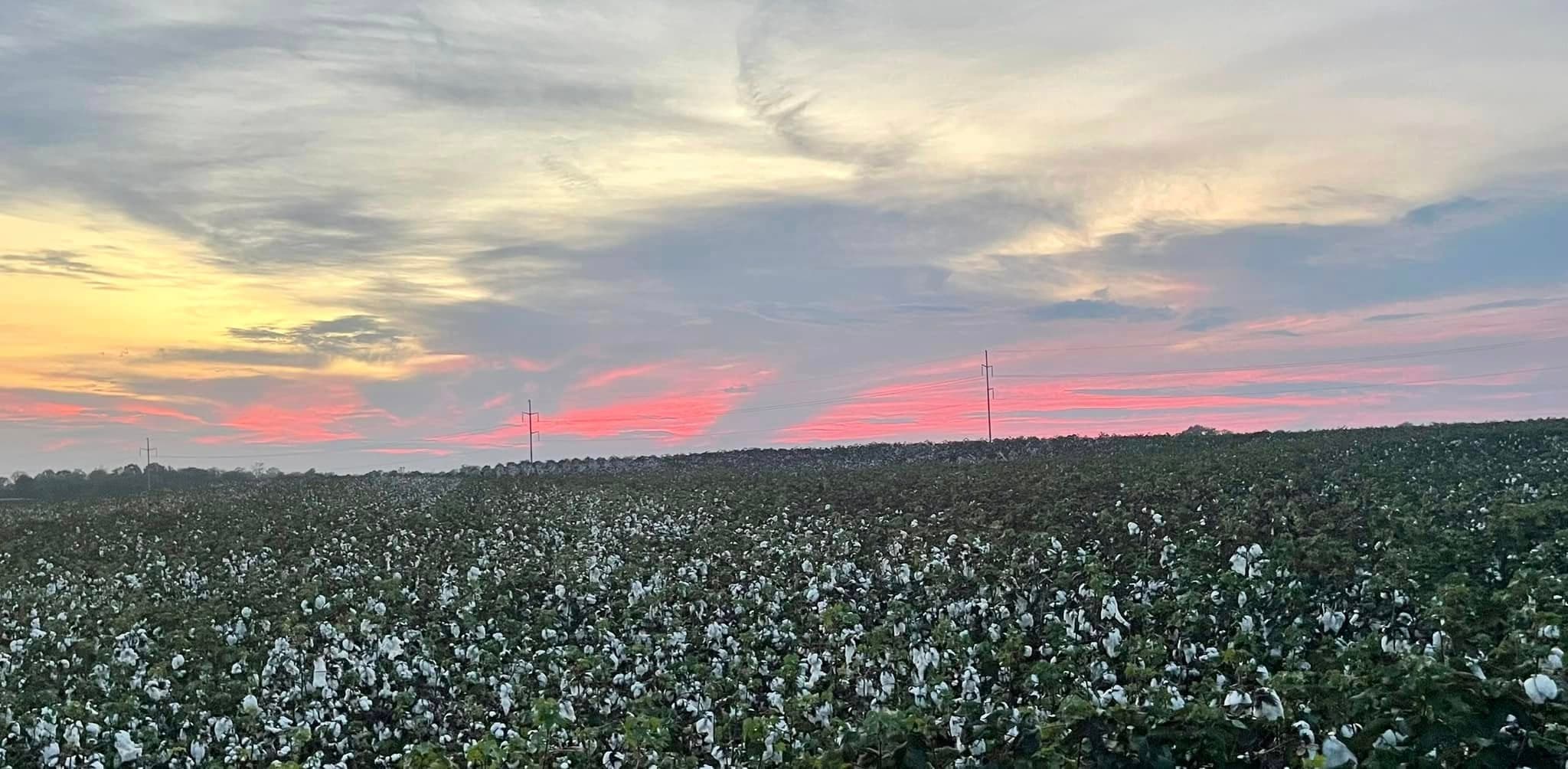
Drone spraying in Limestone County is often a fit for cotton, corn, soybeans, and wheat fields near Athens, Tanner, Elkmont, and Belle Mina where wet ground, end rows, and timing pressure make ground rig access harder.
This page focuses on drone spraying. North Alabama Drone Applicators still confirms crop, field condition, product plan, labels, and weather before recommending any drone pass—or redirecting you to a rig or airplane when that is the stewarded choice.
Local page focus
- Drone Spraying in Limestone County, AL
- Drone spraying Limestone County AL
- Agricultural drone services Limestone County Alabama
- Farm drone application near Athens
Local communities around these reviews.
Typical routing conversations reference farms near Athens, Tanner, Elkmont, Belle Mina, Ardmore, and the Alabama–Tennessee line.
- Athens
- Tanner
- Elkmont
- Belle Mina
- Ardmore
Built around common local crops.
Common crop reviews include cotton, corn, soybeans, wheat, hay, and forage. Every request is checked against field access, weather, product fit, and whether the application belongs on a drone.
Why Limestone County acres may need a drone option.
- River-bottom and terrace ground that holds water differently than the higher benches after Tennessee Valley rains
- Red clay pulls and traffic lanes that rut when heavy rigs move too soon
- Long rows with wet pockets, ditches, and turn rows where timing pressure does not wait on perfect dryness
Application requests we can review.
- Partial-field and border sprays when Athens-area or Ardmore-side blocks dry unevenly after valley rains
- Keeping herbicide, fungicide, insecticide, and foliar passes moving when part of the field should stay parked for wheels
- Working low spots, ditches, and turn rows without tearing up headlands ahead of the next rain
Clear next steps before product ever leaves the ground.
Crop stage, acreage, and target product
Label requirements, weather, buffers, and drift risk
Field access, gates, tree lines, ditches, waterways, and power lines
Whether drone work should stand alone or support a ground rig or crop duster
Local questions about drone spraying.
Same county-focused answers as our crop applicator pages—tailored to how Limestone County farms actually run.
Row-crop programs do not pause for perfect trafficability. After valley rains, many fields have a dry-looking top and a soft bottom—or wet holes along ditches and turn rows. We help decide when a drone keeps the labeled pass on schedule without trading ruts for speed.
Yes. Routing is planned around Athens, Tanner, Elkmont, Belle Mina, Ardmore, and nearby farm communities. Tell us gates, field roads, and wet areas so we can match the flight plan to real access.
No. Labels, wind, buffers, and crop stage still gate the job. If a ground rig can run cleanly and safely—or traditional aerial is the better stewarded choice—we will point you that direction.
That is common. Many Limestone plans split acres: rigs or airplanes on the clean ground, drones on wet holes, borders, or partial blocks. Share contact timing and field maps so the handoff stays clear.
Cotton, corn, soybeans, wheat, hay, and forage show up most, but we still review every field for stage, acres, product, and conditions rather than assuming a crop template.
Ask whether drone spraying fits your field.
Share your county, crop, acreage, target pass, product plan, and timing pressure. We will follow up with a practical recommendation for your field.